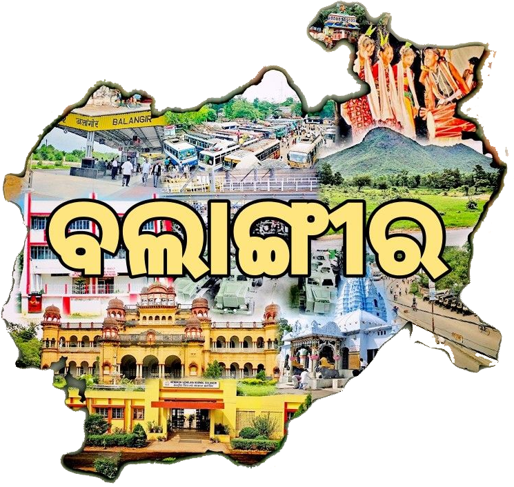
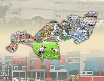
Named after the headquarter town of Balangir, this district was formed on 1st November 1949. It is flanked in the northwest by the Gandhamardan hill. Many hill streams traverse it. The name Balangir is said to have been derived from Balaramgarh, a fort built here in the 16th Century by Balram Deo, the 19th Raja of Balangir and founder of Sambalpur kingdom.The Balangir District is surrounded by Subarnapur district in east, Nuapada District in the west, Kalahandi District in the south and Bargarh District in the north. The District lies between 20 degree 11’40 to 21 degree 05’08 degree north latitude and 82 degree 41’15 to 83 degree 40’22 East longitude. The District covers an area of 6575 sq.km.
Total population of the Balangir District is 16,48,997. comprising total male population as 8,30,097 and female population as 8,18,900. The total SC population of the District is 2,94,777 and ST population is 3,47,164.Balangir District has 3 subdivisions, 14 Tahasils, 14 Blocks, 2 Municipalities, 3 NACs, 18 Police stations and 285 gram panchayats. Minimum temperature measured in the District is 16.6 C and maximum is 48.7 C. 1215.6 mm average rainfall is experienced in Balangir District. The economy of the Balangir District is basically agrarian. The tourism industry of Balangir District also contributes to its economy.
KEY CONTENT
- Area: 6,575 Sq. Km
- Population: 16,48,997
- Villages: 1,783
- Language: Odia
- Male: 8,30,097
- Female: 8,18,900

Public Representatives
List of Members of Parliament of the District
| Sl.No | Constituency Name | Name of MP | Photo |
| 1 | 10-Balangir | Sangeeta Kumari Singh Deo |  |
List of Members of Legislative Assembly of the District
| Sl.No | Constituency Name | Name of MLA | Photo |
| 1 | 066-Loisingha (SC) | Mukesh Mahaling |  |
| 2 | 067-Patnagarh | Saroj Kumar Meher |  |
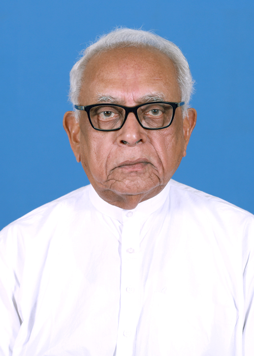
| 3 | 068-Balangir | Narasingha Mishra |  |
| 4 | 069-Titlagarh | Tukuni Sahu |  |
| 5 | 070-Kantabanji | Santosh Singh Saluja |  |


