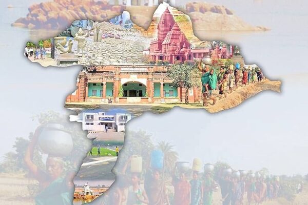
Subarnapur

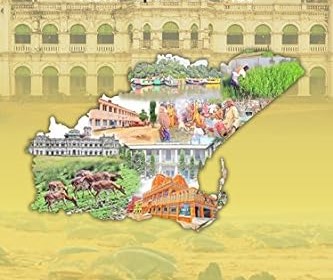
Subarnapur district has figured on the political and cultural map of Odisha since the prehistoric period. It is bounded on the north by Sambalpur district, on the south and the South–East by Boudh District, on the East by Rairakhol subdivision of Sambalpur District and on the West by Balangir district. The discovery of a large…

Read More

Kandhamal

Kandhamal revenue district came into existence on 1st January, 1994, after Phulbani District was divided into Kandhamal and Boudh Districts of Odisha. The District lies between 19 degree 34’ to 20 degree 36’ north latitude and 83 degree 34’ to 84 degree 34’ east longitude. Kandhamal experiences sub tropical hot and dry climate in summer….

Read More

Malkangiri

Malkangiri District is named after its headquarters town, Malkangiri. During formation of Odisha Province in 1936, Malkangiri was a ‘Taluk’ of Nabrangpur sub–division of Koraput District of Odisha. In 1962 it was upgraded to a subdivision of Koraput District. The present Malkangiri got its identity as an independent district due to reorganization of districts of…

Read More

Khordha

The District Khordha came in to existence on 1st April 1993, by dividing it off its earlier Puri district. Puri was divided into three districts Puri, Khordha and Nayagarh. The geographic location of khordha district stands at 19degree 55minutes to 20 degree 25minutes North Latitude and 84 degree 55minutes to 86 degree to 5minutes East…

Read More

Puri

Puri District is a coastal District on the eastern part of Odisha, India. This District needs no introduction, being the abode of Mahaprabhu Shri Vishnu, most popularly known as Mahaprabhu Shri Jagannath. This District derives its name from the heritage city of Puri, one of the four pilgrimage centres ( Char Dham) of India. Covering…

Read More

Sundargarh

Sundargarh District was constituted on the 1st January, 1948, out of the two ex–States of Gangpur and Bonai, which merged with Odisha on that day. True to its name, this beautiful District of Sundargarh with about 43 percent of its total area under forest cover and numerous colourful tribes dotting its landscape and with abundant…

Read More

Jagatsinghpur

Enriched with glorious cultural heritage Jagatsinghpur district formed on 01.04.1993 vide Government Notification No.14218/R dated 27.03.1993 and EOG No.459 dated 01.04.1993. Before that, it was a part of the erstwhile Cuttack district, subsequently which divided into four different districts for administrative convenience. Jagatsinghpur district is surrounded by Bay of Bengal in the East, Cuttack district…

Read More

Kendujhar

The Keonjhar District emerged as one of the District on 1st January, 1948. The District is bounded by Mayurbhanj District and Bhadrak District to the east, Jajpur District to the south, Dhenkanal District and Sundargarh District to the west and West Singhbhum district of Jharkhand State to the north. Covering a geographical area of 8303…

Read More

Nuapada

Nuapada District belongs to state of Odisha, India. The District is located in the western part of Odisha. It lies between 20 degree N and 21 degree 5’ latitude and 82 degree 40’ E longitude. The boundaries of Nuapada extends in the north, west and south to Raipur District of Chattishgarh and in the east…

Read More

Kendrapara

Carved out of the erstwhile District of Cuttack, Kendrapara District is situated in Central Coastal plain zone of Odisha. The District is bounded by Bhadrak District at its North, Jajpur at its North West ,Jagatsinghpur District at its South, Cuttack District at its West and Bay of Bengal at its East. Kendrapad District lies in…

Read More