Ganjam

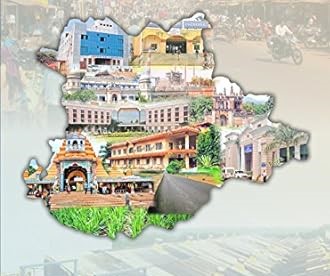
Ganjam District came into existence on 1st April 1936. The district is named after the old township and European fort of Ganjam situated on the northern bank of river Rushikulya which was the head quarter of the District. The Ganjam area was a part of ancient Kalinga which was occupied by Ashok in 261 B.C….

Read More

Dhenkanal

Centrally located on the Geo-Political map of Odisha, Dhenkanal District is surrounded by beautiful wild lives and forests.The District is situated on the Cuttack-Sambalpur road (NH 55) and on the Cuttack-Sambalpur or Baranga-Sambalpur railway line. The Dhenkanal District touches the boundary of Kendujhar district on its north, Cuttack district on south and bounded by Jajpur…

Read More

Deogarh

Deogarh, an administrative district in Odisha, was carved out of the larger Sambalpur district on January 1, 1994. Formerly part of the Bamanda or Bamra State, the district’s name translates to “Abode of Divinity.” Cultural Heritage: Deogarh boasts a rich cultural tradition with gifts of mountains, springs, falls, forests, and diverse flora and fauna. Myths…

Read More

Cuttack

Cuttack District, one of Odisha’s oldest, is a significant city and district headquarters with historical prominence as the former capital of the state. Geography and Climate:Geographically located between 20°03′ to 20°40′ N latitude and 84°58″ to 86°20′ E longitude, Cuttack is flanked by the Mahanadi river to the north and Kathajodi river to the south….

Read More

Boudh

Boudh District, also known as Baudha District, is an administrative division in Odisha, India. It covers a geographical area of 3444.8 sq km, situated between 20°22′ to 20°50′ N Latitude and 83°34′ to 84°49′ E Longitude. Geography and Demographics:Boudh is bordered by River Mahanadi & Angul District to the north, Kandhamal District to the south,…

Read More

Bhadrak

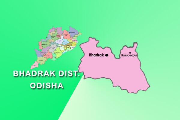
Bhadrak District, an administrative division of Odisha, came into existence on April 1, 1993, and is named after its headquarters town, Bhadrak. The district has a rich heritage associated with Goddess Bhadrakali. Geography and Demographics:Situated at 21.0667 Latitude and 86.5000 Longitude, Bhadrak District is bordered by Balasore (north), Jajpur and Baitarani River (south), Keonjhar (west),…

Read More

Bargarh

Bargarh, a district on the western border of Odisha, was initially a subdivision of Sambalpur districtuntil it gained independence on April 1, 1993. Previously, the region was part of the Chauhan states, which succumbed to British Imperialism in 1849. The district’s formation was part of the reorganization of Orissa into 30 districts between 1992 and…

Read More

Balasore

Situated along the Odisha coast, Balasore, initially part of ancient Kalinga, became a separate district in October 1828, transitioning from Bengal presidency. Geography and Demographics:Encompassing 3634 sq kms, Balasore hosts a population of 23,17,419 (2011). Positioned between 20.48 to 21.59 N Latitude and 86.16 to 87.29 E Longitude, it shares borders with West Bengal, the…

Read More

Balangir

Named after the headquarter town of Balangir, this district was formed on 1st November 1949. It is flanked in the northwest by the Gandhamardan hill. Many hill streams traverse it. The name Balangir is said to have been derived from Balaramgarh, a fort built here in the 16th Century by Balram Deo, the 19th Raja…

Read More

Angul

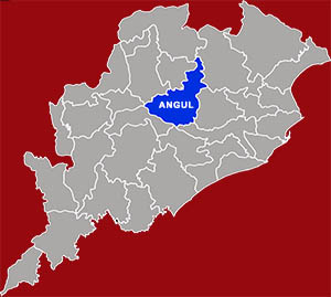
The District of Angul situated at the heart of Odisha was a part of Undivided Dhenkanal District till early March 1993, but for the administrative convenience, Dhenkanal District was divided into two parts i.e. Dhenkanal and Angul vide State Government Notification No. DRC-44/93/14218/R. dated 27 March 1993. Angul District came into existence as a separate…

Read More