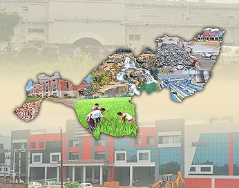
Kandhamal revenue district came into existence on 1st January, 1994, after Phulbani District was divided into Kandhamal and Boudh Districts of Odisha. The District lies between 19 degree 34’ to 20 degree 36’ north latitude and 83 degree 34’ to 84 degree 34’ east longitude.
Kandhamal experiences sub tropical hot and dry climate in summer. Dry and cold climate in winter. The maximum temperature recorded in the District is 45.5 degree C and minimum temperature is 2.0 degree C. The average annual rainfall recorded is 1522.95 mm. The Kandhamal district covering a geographical area of 7654 sq kms is bounded by Boudh district in the North, by Rayagada & Gajapati districts in the South, by Ganjam and Nayagarh districts in the East and Kalahandi District in the west.
Physiographically, the entire district lies in high altitude zone with inter spreading inaccessible terrain of hilly ranges and narrow valley tracts, which guides the socio–economic conditions of people and development of the district. Kandhamal District is located in central Odisha and is bounded by Boudh District on the north, Rayagada District on the south, Ganjam and Nayagarh Districts on the East and Kalahandi District on the west. This District is located between 19’34 & 20’36 north latitude and 83’34 & 84’34 east longitude and covers an area of 7654 sq.km.Kandhamal District is very much famous for handicrafts such as Dokra, Terra–Cotta, Cane and Bamboo works. The region is proud of its rich cultural heritage.
The Kandhamal is bestowed with the beauty of nature. It has wild life, scenic beauty, healthy climate, and serpentine ghat roads for the tourists. It has attractions, like panoramic coffee gardens, pine jungles, Ghat roads, hills and water falls, virgin forest and typical tribal village life. Almost 66 percent of the land area of the District is covered with dense forests and towering mountains rich in green meadows at the attitude of 2000 feet to 3000 feet, the terraced valleys thronged with these colourful tribal in their natural heritage, dancing and sporting has its own appeal.
The soil in the District is mostly Red– laterite group, having organic matters contents. As such, the water holding capacity is very low. The PH value of the soil varies 5.3 to 6.5, which is acidic in nature. The big chunk of land consists of red–laterite sandy loam soils being exposed to constant soil erosion and run off devoid of humus contents render in fertile and turn into barren wastelands. The important crops grown in the District during Kharif season is Paddy, Maize and Niger. In irrigated areas, crops like Potato, Vegetable and Mustard are grown.
Kandhamal is endowed with vast minor forest and agricultural produces which incidentally form the basis of its industry.The District has many cottage and agro based industry that process forest and agricultural produce. It also possesses abundant graphite reserves in Tumdibandha Block.
Kandhamal has 2 subdivisions viz. Phulbani, and Balliguda; with 12 tehsils, 12 blocks and 153 Gram Panchayats. As per 2011 census, its population was 7,33,110 comprising 3,59,945 Male and 3,73,165 Female population.
Public Representatives
List of Member of parliaments of the District
| Sl.No | Constituency Name | Name of MP | Photo |
| 1 | 013-Kandhamal (Gen) | ACHYUTANANDA SAMANTA | 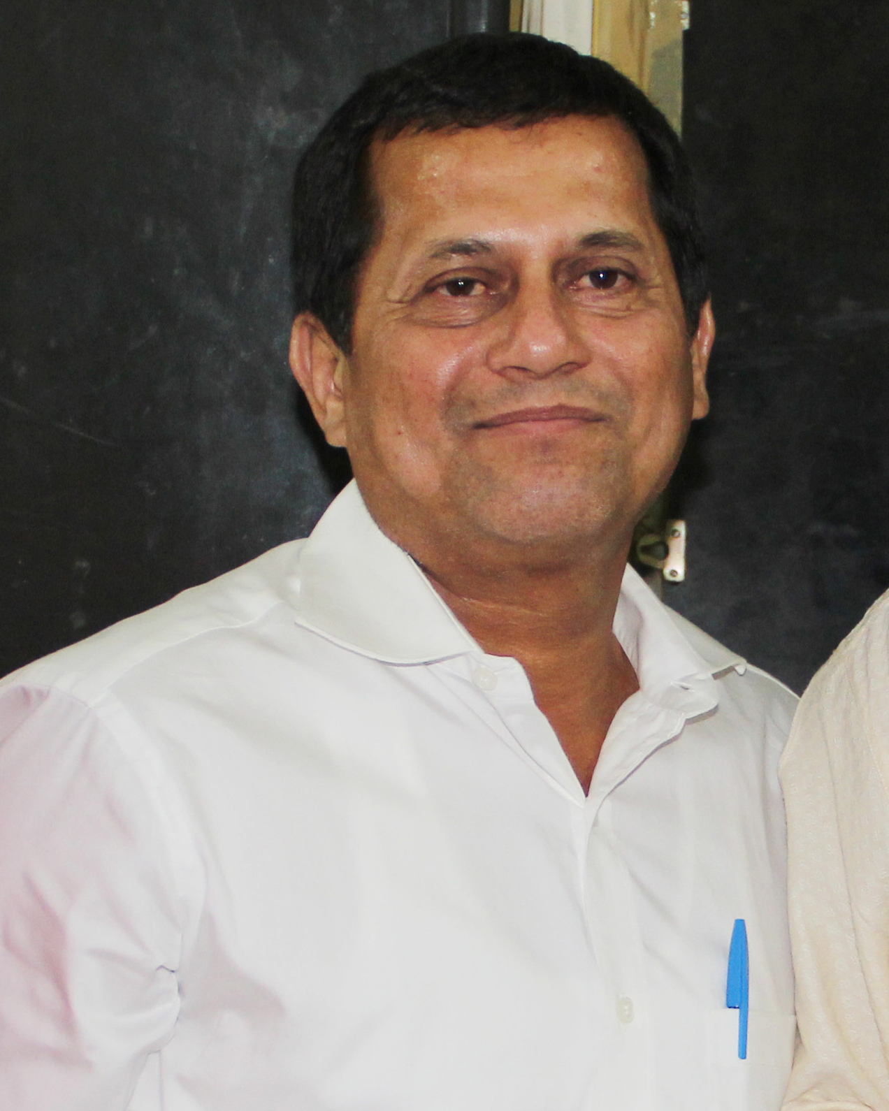 |
List of Member of Legislative Assembly of the District
| Sl.No | Constituency Name | Name of MLA | Photo |
| 1 | 082-BALIGUDA (SC) | CHAKRAMANI KANHAR |  |
| 2 | 083- G.UDAYAGIRI(ST) | SALUGA PRADHAN | 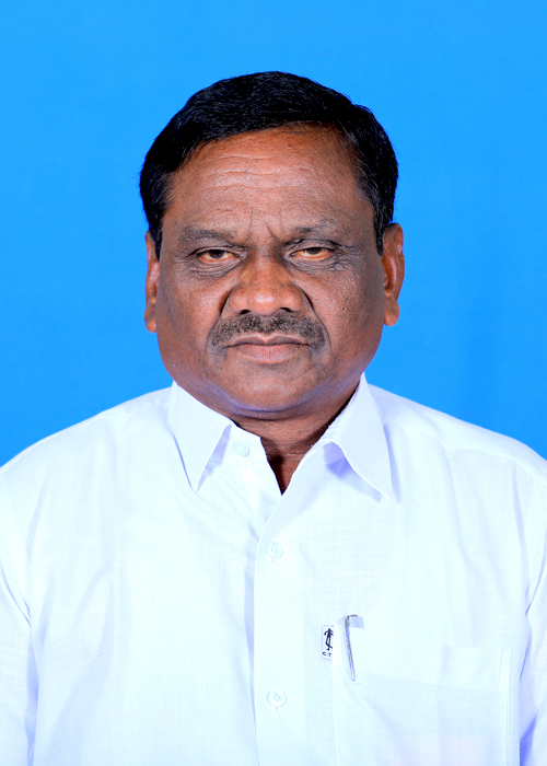 |
| 3 | 084-PHULBANI (ST) | ANGADA KANHAR | 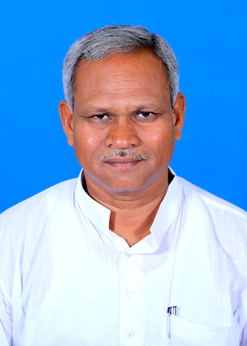 |


